Automotive and marine:
All-time favorites. Almost indestructible, waterproof, beautiful screen.
If A to B navigation is subordinate, but the priority is clearly in terms of finesses of GPS navigation, forget the 2820, 550 and 660, this is your choice.
 |
 |
 |
 |
specs quick reference manual | specs quick reference manual | specs quick reference manual | specs quick reference manual |
 |
 |
 |
 |
specs quick reference manual | specs quick reference manual link | specs quick reference manual | specs quick reference manual |
All pictures: click for a larger format.
Specialised for aviation but also capable of automotive and marine:
Still popular in (small) planes as backup system because it is a portable battery-based(!) GPS.
There are just too many pilot stories that start with 'I lost my entire electrical system.'
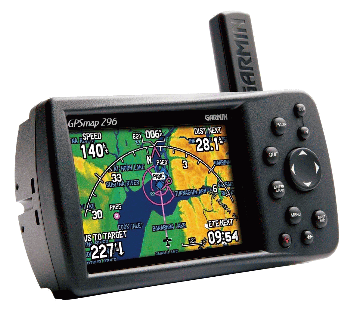
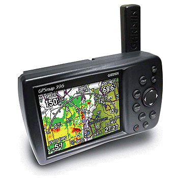
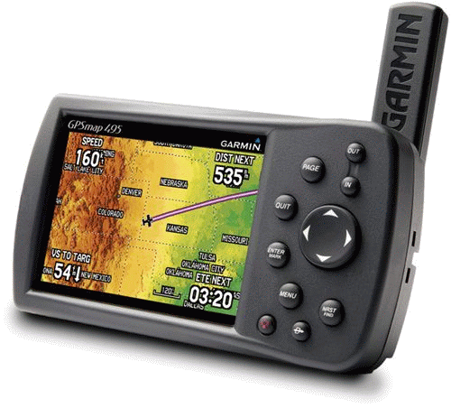
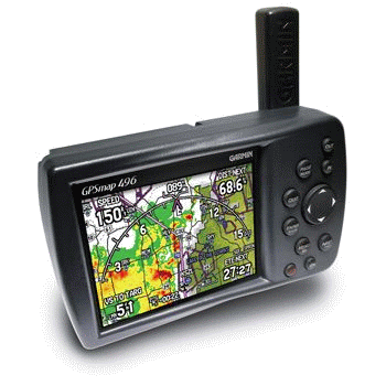
| Garmin GPSmap 196 3 | Garmin GPSmap 296 7 | Garmin GPSmap 396 10 | Garmin GPSmap 495 12 | Garmin GPSmap 496 13 |
 |
 |
 |
 |
 |
specs quick reference pilot's guide ZDpublishing |
specs quick reference pilot's guide ZDpublishing |
specs quick reference manual ZDpublishing |
specs quick reference manual ZDpublishing |
specs quick reference manual europe manual usa ZDpublishing |
All pictures: click for a larger format.
Automotive and marine:
* Aan onderstaand overzicht kunnen geen rechten worden ontleend. Voor de exacte informatie kijk op de website van Garmin.
| * | ||||||||
| 6.18" 3.4" 2.25" 15.7 8.64 5.72cm |
6.18" 3.4" 2.25" 15.7 8.64 5.72cm |
5.7" 3.2" 1.9" 14.5 8.1 4.8cm |
5.7" 3.2" 1.9" 14.5 8.1 4.8cm |
5.7" 3.2" 1.9" 14.5 8.1 4.8cm |
5.7" 3.2" 1.9" 14.5 8.1 4.8cm |
5.7" 3.2" 1.9" 14.5 8.1 4.8cm |
5.7" 3.2" 1.9" 14.5 8.1 4.8cm |
|
| 1.5lbs 680g | 1.5lbs 680g | 13.6oz 385g | 13.6oz 385g | 14.0oz 400g | 13.6oz 385g | 13.6oz 385g | 13.6oz 385g | |
| 3.8" 9.65cm | 3.8" 9.65cm | 3.75" 9.5cm | 3.75" 9.5cm | 3.75" 9.5cm | 3.8" 9.65cm | 3.8" 9.65cm | 3.8" 9.65cm | |
| 3.0" 2.2" 7.6 5.6cm |
3.0" 2.2" 7.6 5.6cm |
3.0" 2.2" 7.6 5.6cm |
3.0" 2.2" 7.6 5.6cm |
3.0" 2.2" 7.6 5.6cm |
3.0" 2.2" 7.6 5.6cm |
3.0" 2.2" 7.6 5.6cm |
3.0" 2.2" 7.6 5.6cm |
|
| 320 x 240 | 320 x 240 | 480 x 320 | 480 x 320 | 480 x 320 | 480 x 320 | 480 x 320 | 480 x 320 | |
| 12-level gray high contrast FSTN with backlighting | 16-color transflective display with backlighting | 256 color TFT with backlighting | 256 color TFT with backlighting | 256 color TFT with backlighting | 256 color TFT with backlighting | 256 color TFT with backlighting | 256 color TFT with backlighting | |
| no | no | no | no | no | no | no | no | |
| no | no | no | no | no | no | no | no | |
| 4x AA | 4x AA | rechargeable internal lithium-ion | rechargeable internal lithium-ion | rechargeable internal lithium-ion | rechargeable internal lithium-ion | rechargeable internal lithium-ion | rechargeable internal lithium-ion | |
| USA / Europe Basemap | USA / Europe Basemap | USA / Europe Basemap | USA / Europe Basemap | USA / Europe Basemap | USA / Europe Basemap | USA / Europe Basemap | USA / Europe Basemap | |
| external datacard | external datacard | external datacard | external datacard | internal (2GB): CN NA / Europe | internal | internal CN NA / Europe; inland lake maps (excluding the Great Lakes) |
internal CN NA / Europe; built-in marine charts covering all U.S. coastal areas, including Alaska and Hawaii and the Great Lakes |
|
| yes | yes | yes | yes | yes | yes | yes | yes | |
| 3000 | 3000 | 3000 | 3000 | 3000 | 3000 | 3000 | 3000 | |
| no | no | no | no | >100.000 | ? | ? | ? | |
| 2.500 | 2.500 | 10.000 | 10.000 | 10.000 | 10.000 | 10.000 | 10.000 | |
| 15 | 15 | 15 | 15 | 20 | 20 | 20 | 20 | |
| 500 | 500 | 700 | 700 | 700 | ? | ? | ? | |
| 50 | 50 | 50 | 50 | 50 | 50 | 50 | 50 | |
| 254 | 254 | 300 | 300 | 300 | 300 | 300 | 300 | |
| satellite | satellite | satellite | satellite | satellite | satellite | satellite | satellite | |
| no | no | no | no | no | no | no | no | |
| no | no | no | no | no | no | no | no | |
| no | no | no | no | no | no | no | no | |
| no | no | no | no | XM WX Satellite Weather Capability | XM WX Satellite Weather Capability | XM WX Satellite Weather Capability | XM WX Satellite Weather Capability | |
| no | no | no | no | XM Satellite Radio Capability | XM Satellite Radio Capability | XM Satellite Radio Capability | XM Satellite Radio Capability | |
| ? | ? | ? | ? | ? | ? | 05-2006 - ? | 05-2006 - ? | |
| $ 550 | $ 675 | $ 650 | € 650 | € 1100 | $ 1000 | ? | ? | |
| € 100 | € 100 | € 175 | € 175 | € 275 | € 500 | € 600 | € 600 |
Specialised for aviation but also capable of automotive and marine:
* Aan onderstaand overzicht kunnen geen rechten worden ontleend. Voor de exacte informatie kijk op de website van Garmin.
| * | |||||
| 6.18" 3.4" 2.25" 15.7 8.64 5.72cm |
5.7" 3.2" 1.9" 14.5 8.1 4.8cm |
5.7" 3.2" 1.9" 14.5 8.1 4.8cm |
5.7" 3.2" 1.9" 14.5 8.1 4.8cm |
5.7" 3.2" 1.9" 14.5 8.1 4.8cm |
|
| 1.5lbs 680g | 13.30z 377g | 14.2oz 400g | 14.2oz 400g | 14.2oz 400g | |
| 3.8" 9.65cm | 3.8" 9.65cm | 3.8" 9.65cm | 3.75" 9.5cm | 3.8" 9.65cm | |
| 3.0" 2.2" 7.6 5.6cm |
3.0" 2.2" 7.6 5.6cm |
3.0" 2.2" 7.6 5.6cm |
3.2" 2.1" 8.1 5.3cm |
3.2" 2.1" 8.1 5.3cm |
|
| 320 x 240 | 480 x 320 | 480 x 320 | 480 x 320 | 480 x 320 | |
| 12-level gray high contrast FSTN with backlighting | 256 color TFT with backlighting | 256 color TFT with backlighting | 256 color TFT with backlighting | 256 color TFT with backlighting | |
| no | no | no | no | no | |
| no | no | no | no | no | |
| 4x AA | rechargeable internal lithium-ion | rechargeable internal lithium-ion | rechargeable internal lithium-ion | rechargeable internal lithium-ion | |
| USA / Europe Basemap Jeppesen |
USA / Europe Basemap Jeppesen |
USA / Europe Basemap Jeppesen |
USA / Europe Basemap Jeppesen |
USA / Europe Basemap Jeppesen |
|
| external datacard | external datacard | internal | internal | internal | |
| yes | yes | yes | yes | yes | |
| 1000 | 3000 | 3000 | 3000 | 3000 | |
| no | no | no | yes | yes | |
| 2.500 | 10.000 | 10.000 | 10.000 | 10.000 | |
| 15 | 15 | 15 | 15 | 15 | |
| 500 | 700 | 1.000 | 1.000 | 1.000 | |
| 50 | 50 | 50 | 50 | 50 | |
| 50 | 300 | 300 | 300 | 300 | |
| satellite | satellite | satellite | satellite | satellite | |
| no | no | no | no | no | |
| no | no | no | no | no | |
| no | no | no | no | no | |
| no | no | XM WX Satellite Weather Capability | no | XM WX Satellite Weather Capability | |
| no | no | XM Satellite Radio Capability | no | XM Satellite Radio Capability | |
| ? | 10-2003 07-2010 | ? | ? | ? | |
| $ 550 | € 1500 | $ 1750 | $ 1500 | $ 2400 | |
| € 150 | € 300 | € 400 | € 450 | € 550 |
- Er is een adapter om de datacard vanuit de pc te vullen, maar pas op!
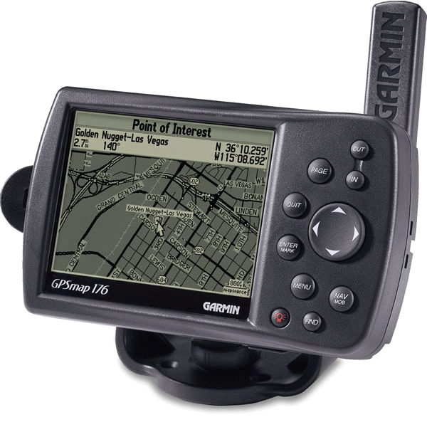
- The 176 is identical to 176C, but with monochroom screen.
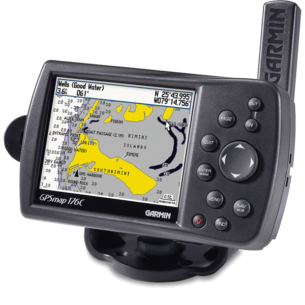
- The 176C is identical to 176, but with colorscreen.
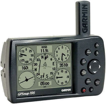
- The 196 = 176 plus Jeppesen database and aviation software.
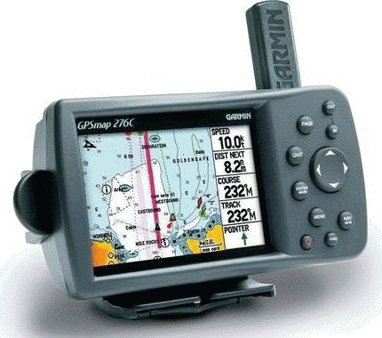
- The 276C = 278 minus POI, minus preloaded CN Europe, minus the possibility to load maps in internal memory.
- The 276C Plus was a special version of the ordinary Garmin GPSmap 276C. It was made exclusively for West Marine (a US dealer). Some of the special features of the GPSmap 276C Plus were: - A simplified user interface; - Four dedicated navigation modules: power boating, sail boating, automotive and off-road; - Best navigation aid selection: when navigation aids like a waypoint were selected, the GPSmap 276C Plus would find the most accurately placed navigation aid and use that position; - Customised page loop: each mode had only the GPS pages that were appropriate, there was no unnecessary information to sift through; -Easy route editing.
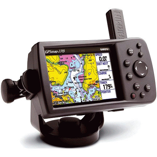
- The 278 is only sold in Europe. Factory default settings are in metric settings. 278 = 276C plus POI, plus preloaded CN Europe in internal memory.
- The 296 provides a wealth of information. This single device provides everything a lazy pilot needs to get to his or her destination without the use of the plane’s GPS and MFD units (and all the trimmings of the 396, 495, 496); read more.
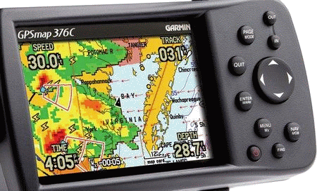
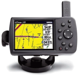
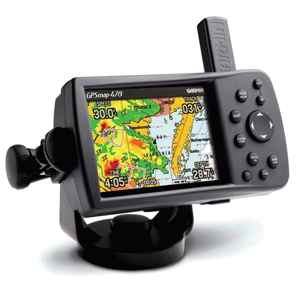
- The 378 and 478 are sold only in the US. The 378 is for inland marine (USA) navigation. The 378 has all the features of the 376C, plus the whole City Navigator (NA/Europe) mapset loaded up internal.
- The 396 adds weather capability (requires a separate subscription).
- The 378 and 478 are sold only in the US. The 478 = 378, but is for coastal (USA) navigation.
- The price ($ 1500) is excluding Satellite Radio and Weather.
- The 496 = 396 plus: - preloaded City Navigator NT (USA or Europe); - SafeTaxi; - AOPA's Airport Directory; - Enhanced terrain and aviation databases; - Faster 5 Hz GPS updating of map data. Price ($ 2400) is including Satelliet Radio and Weather
- Not available in Europe.
- As always prices are not 'fixed', but subject to special offers. Garmins specialised for flying are always (new and 2hand) a few hundred $/€ more expensive because of the build-in Jeppesen database.
- Whatever you want to spend... Mentioned price is my guess (2012, based on Ebay) for a functioning and complete set in decent condition [manual, cables (usb power/data - vehicle power cable with speaker - AC charger), mounts (automotive - marine), datacard (if applicable), Garmin subscription, etc].
| Laatste wijziging: 03 mei 2025. | Colofon Disclaimer Privacy Zoeken Copyright © 2002- G. Speek |